
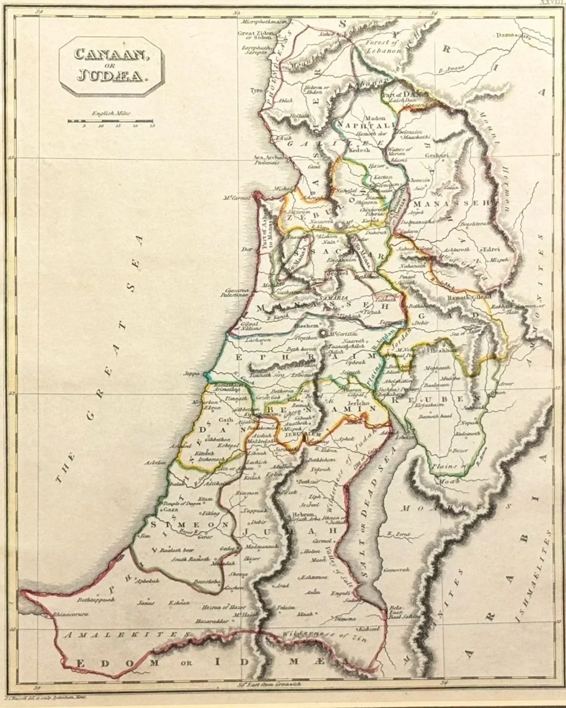
 Image 1 of 4
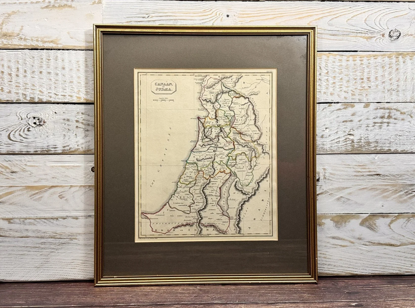 Image 2 of 4
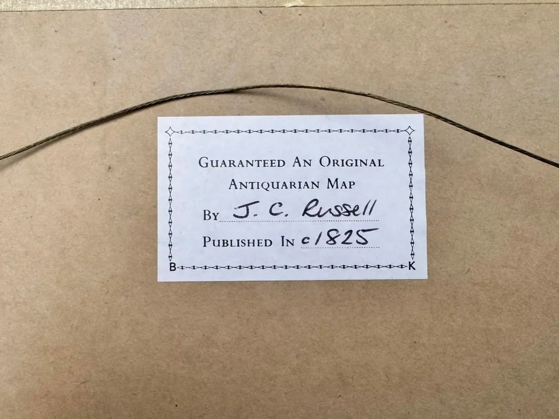 Image 3 of 4
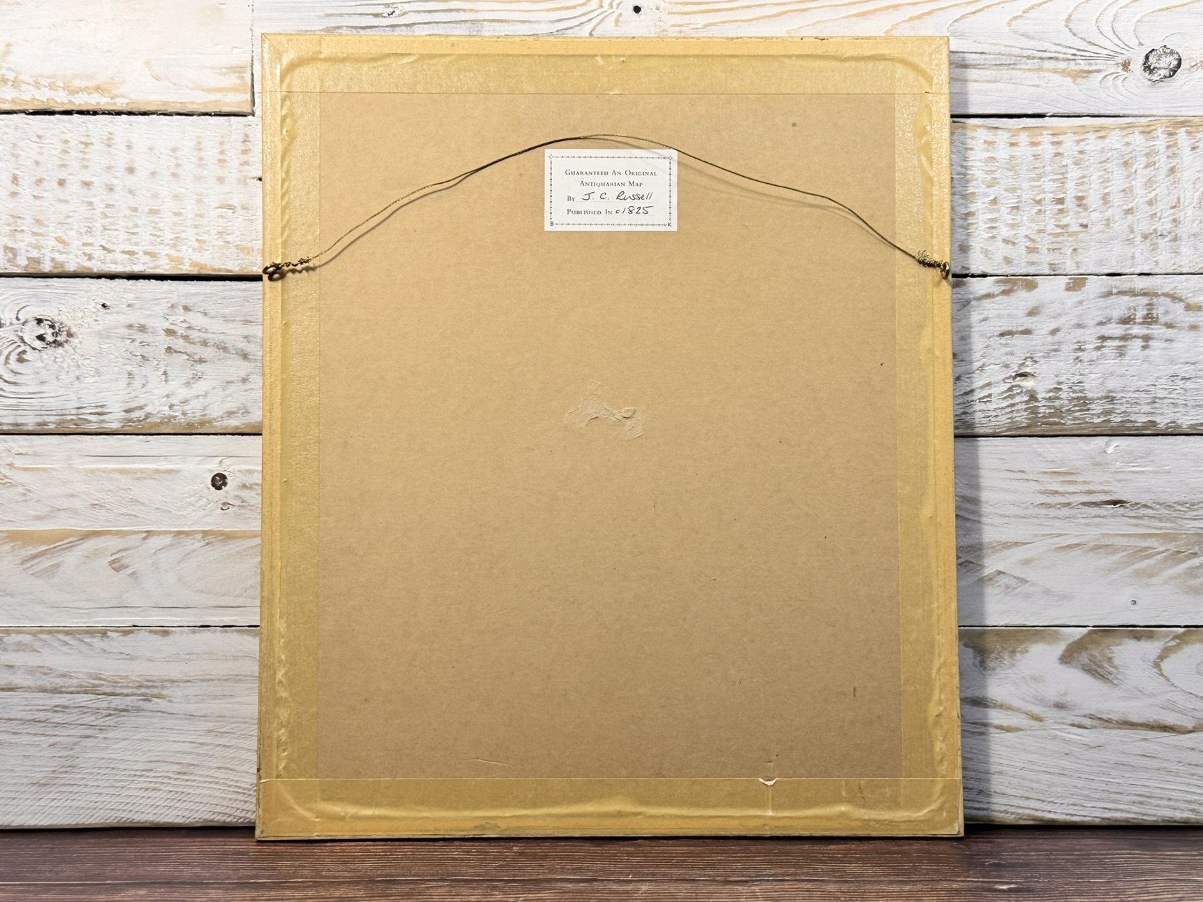 Image 4 of 4
Additional Information
Framed with a label ‘Guaranteed an original antiquarian map by J C Russell, published c. 1825’.